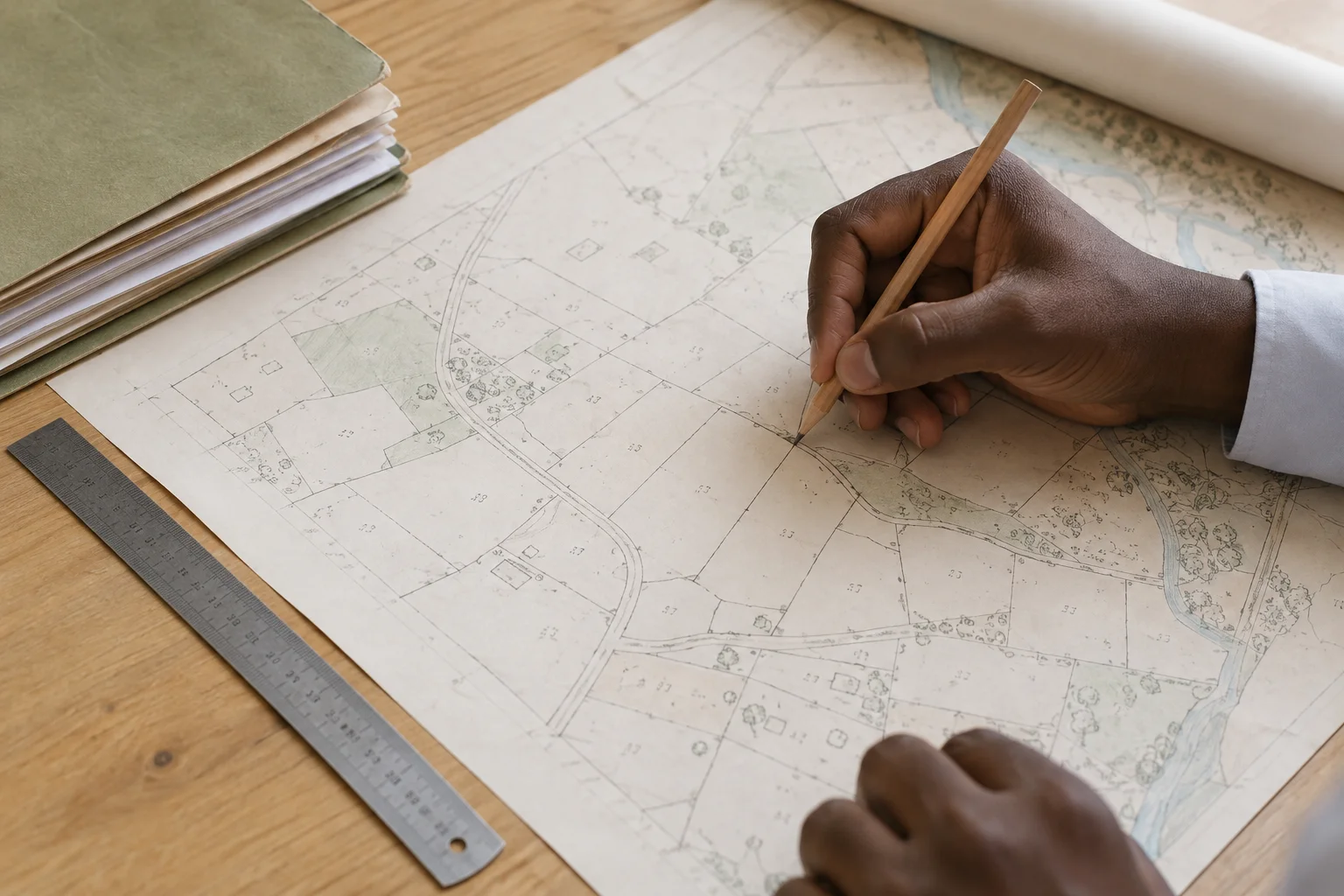

Start with the essentials
Your next step.
- Define the location and intended use.
- Specify the scale and period.
- Keep the resource reference.
Explore what you need
Answers to your questions.
What need does it address?
ANAT’s published missions cover territorial planning and geographical and cartographic work. Its website presents platforms and resources for exploring the territory.
Describe your research
State the location, the scale of your study and what you want to understand. A specific question helps identify a useful map, planning document or dataset.
- Which area: commune, department or region?
- Which purpose: site context, public facilities or a project study?
- Which date, scale and document format do you need?
Use the resource within its scope
Ask for its reference year, coverage and usage conditions. Keep its title and source in your study. For a document about an individual parcel, also consult the Cadastre profile and its dedicated procedure.
Official sources
- ANAT — Missions anat.sn
- Contact ANAT anat.sn