Start with the essentials
Your next step.
Use the Order’s directory, then agree in writing on the question, site work and documents to be delivered.
- Locate the parcel and gather existing plans.
- Select a surveyor from the professional directory.
- Define the work, deliverables, price and any administrative follow-up.
Explore what you need
Answers to your questions.
What problem should you describe?
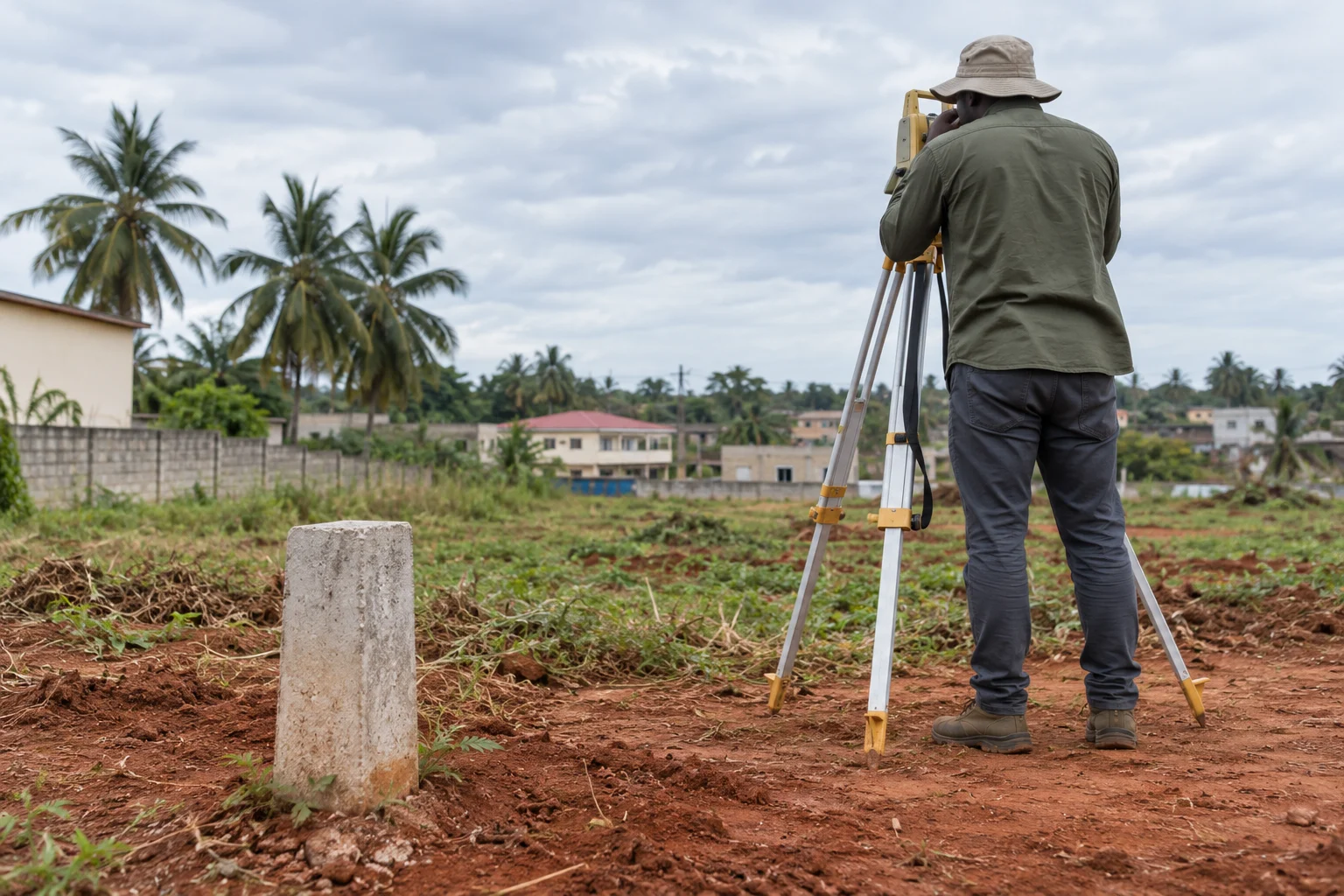
Explain whether you need boundaries located, an area measured, a discrepancy clarified or a project prepared. Give the commune, site access and existing references. A design survey for a home and a land-administration procedure may require different assignments.
What should you check before the visit?
Search the directory by department and confirm the professional’s identity. Send useful plans and records through the agreed channel. Ask whether neighbours, representatives or services need to attend and who arranges this. An existing fence alone does not settle a boundary question.
What results should you request?
Specify the plan format, references used, unresolved points and any formalities following measurement. For cadastral records or rights, identify the competent ANDF service. ANAT’s general maps explain the wider territory but do not replace parcel-level work.
Official sources
- Ordre des Géomètres-Experts · annuaire geometre-expert.bj
- Cadastre national cadastre.bj
- ANAT · documents territoriaux anat.bj